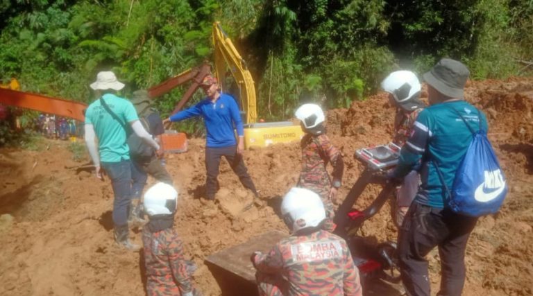
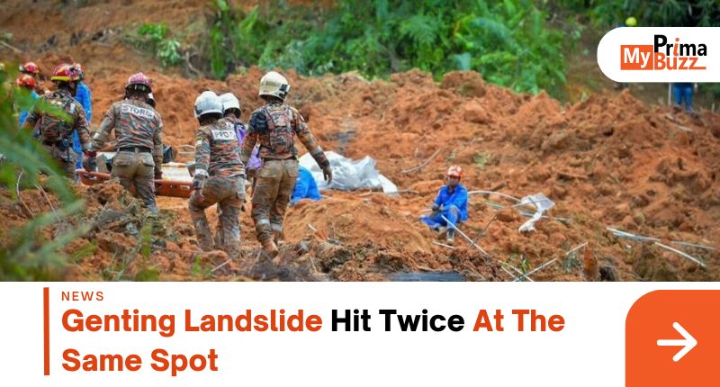
In response to the preliminary investigation of the genting landslide at Batang Kali campsite, the Malaysian Public Works Department (JKR) investigation revealed that the landslide hit twice at the same location, it occurred 20 to 30 minutes apart.
Video Credit: The Star
JKR simulates theGenting landslide Batang Kali Campsite

The National Natural Disaster Management Agency posted on Facebook that the video simulated by JKR showed that the first landslide was near the middle of the slope. It crumbled down and covered the campsite. It was followed by the second landslide that occurred from the top of the slope because the road at the top could not support it and directly covered the entire camp.
According to the preliminary findings of the Genting landslide, the slope collapse was estimated to be 120 meters wide, 330 meters long, and 70 meters high, with an estimated volume of 450,000 cubic meters. The collapse pattern was Retrogressive Translational and debris flow.
The investigation also showed that the road drainage ditches were clean and dry, with no blockage, showing there was no problem with the road drainage system.
To avoid further collapse, the authorities carried out short-term maintenance works, including covering the exposed slope surface with tarpaulin, rerouting the left drainage ditch to the right, and installing sensors to detect ground activity.
Searching continues
Image Credit: CNA
The tragedy of the Genting landslide enters the 4th day, and the rescue team will continue to search for the remaining 9 missing people. The rescue team will focus on the areas of Mountain View Camp in Area A and Riverside Camp in Area C, as well as nearby areas that have not been excavated.
So far, a total of 24 people have been killed, 61 people have been rescued, and the remaining 9 people are still unaccounted for.
Video Credit: CNA

